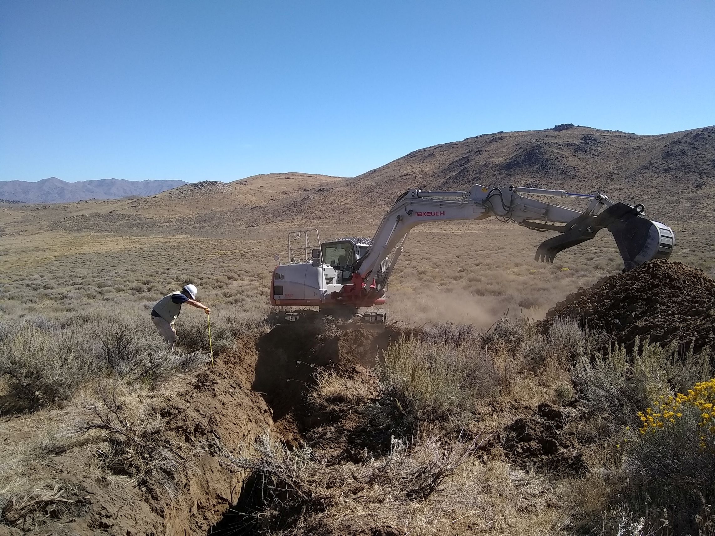
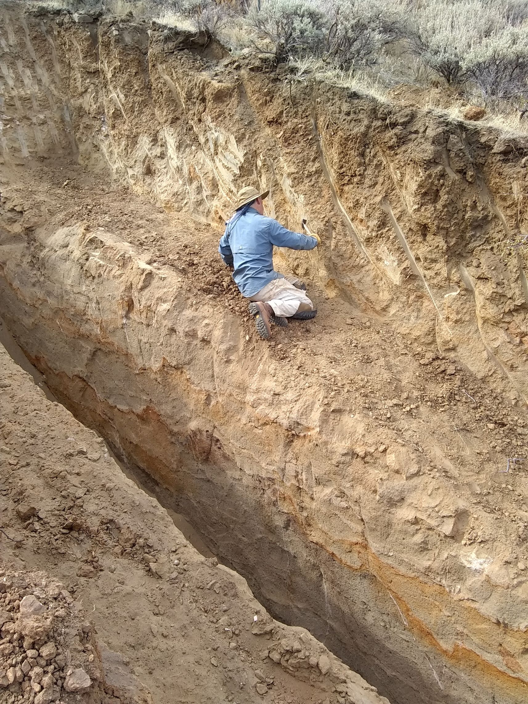
Detailed Geologic Mapping & Analysis
Geologic mapping is primarily done by GBCGE affiliates at the Nevada Bureau of Mines and Geology and the Department of Geological Sciences and Engineering.
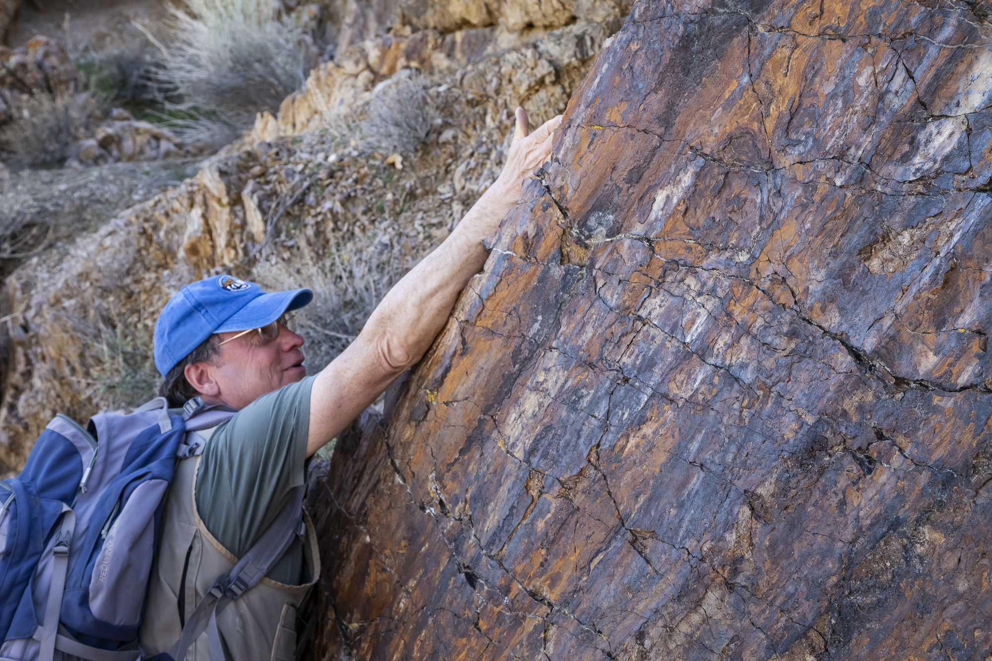
Observation-based field data are used to produce maps, along with aerial photography and LiDAR data. 3D models are produced for select geothermal prospects. GBCGE affiliates also excavate trenches across faults to determine age of faulting.
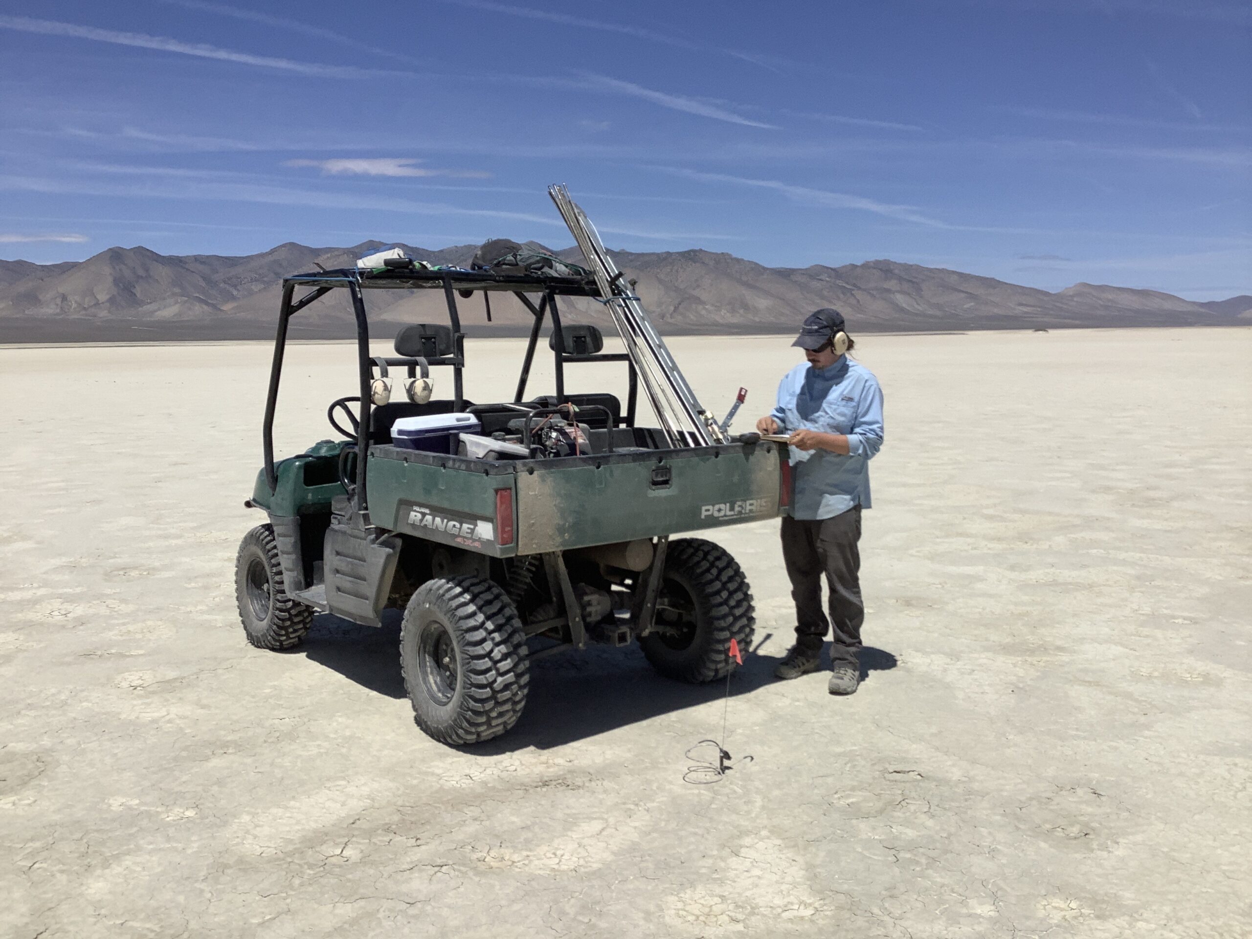
Two-Meter Temperature Surveys
GBCGE affiliates pioneered the two meter temperature measurement technique. The method involves pounding a steel rod into the ground, inserting a resistant temperature device into the rod, and then measuring the temperature after a short equilibration period. This method has successfully identified thermal anomalies in areas without other surface geothermal indicators (i.e., blind geothermal systems).
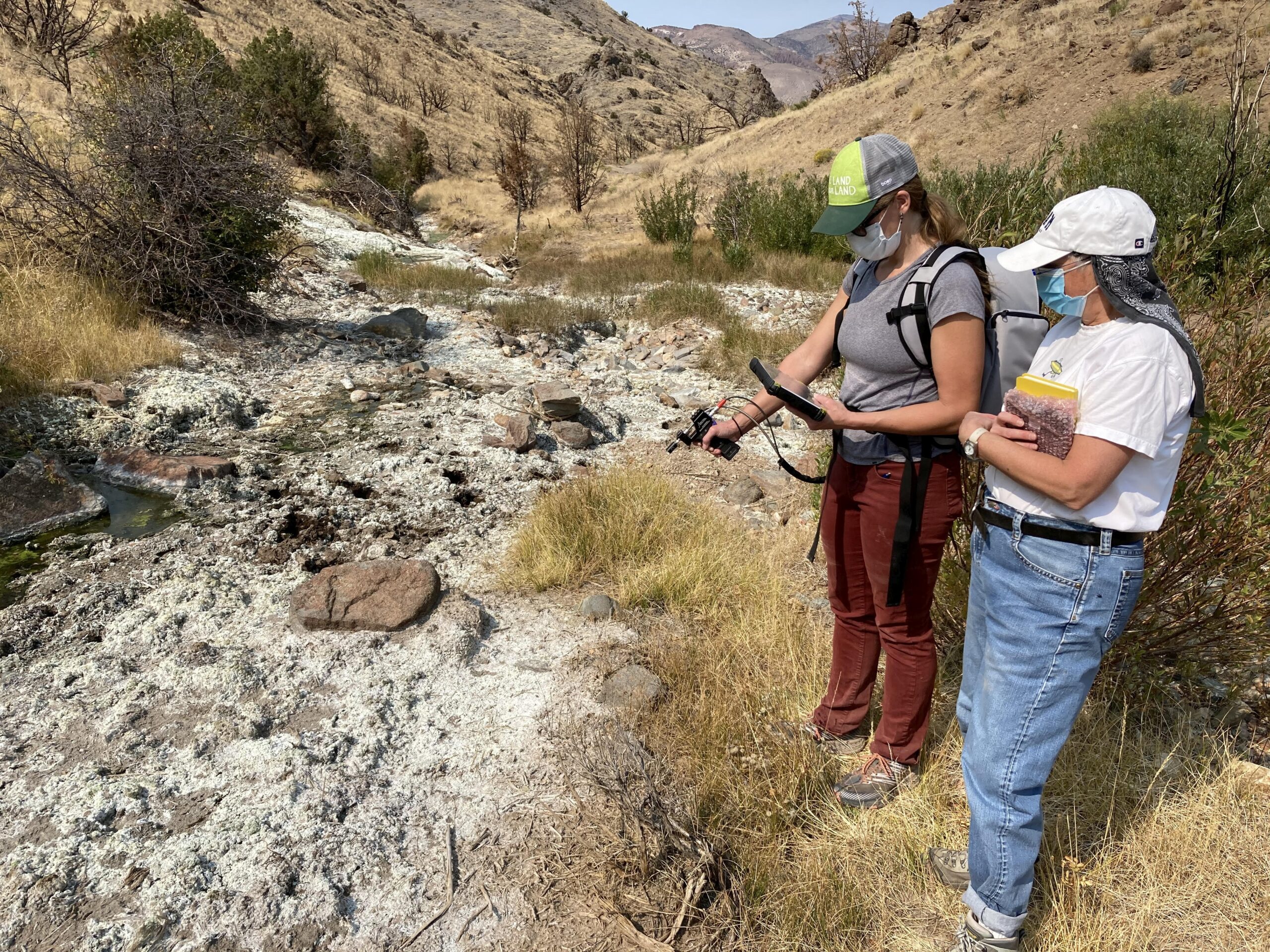
Remote Sensing
GBCGE affiliates use remote sensing techniques to study geothermal on a range of scales. Instruments are used in the field and lab to identify mineralogy based on spectral signatures. Remote sensing data are used to map geothermal indicator minerals over large areas, often identifying new areas of interest. Researchers also use spectroscopy to produce geothermal core logs showing mineralogy. We have a strong partnership with a local core-scanning company, TerraCore.
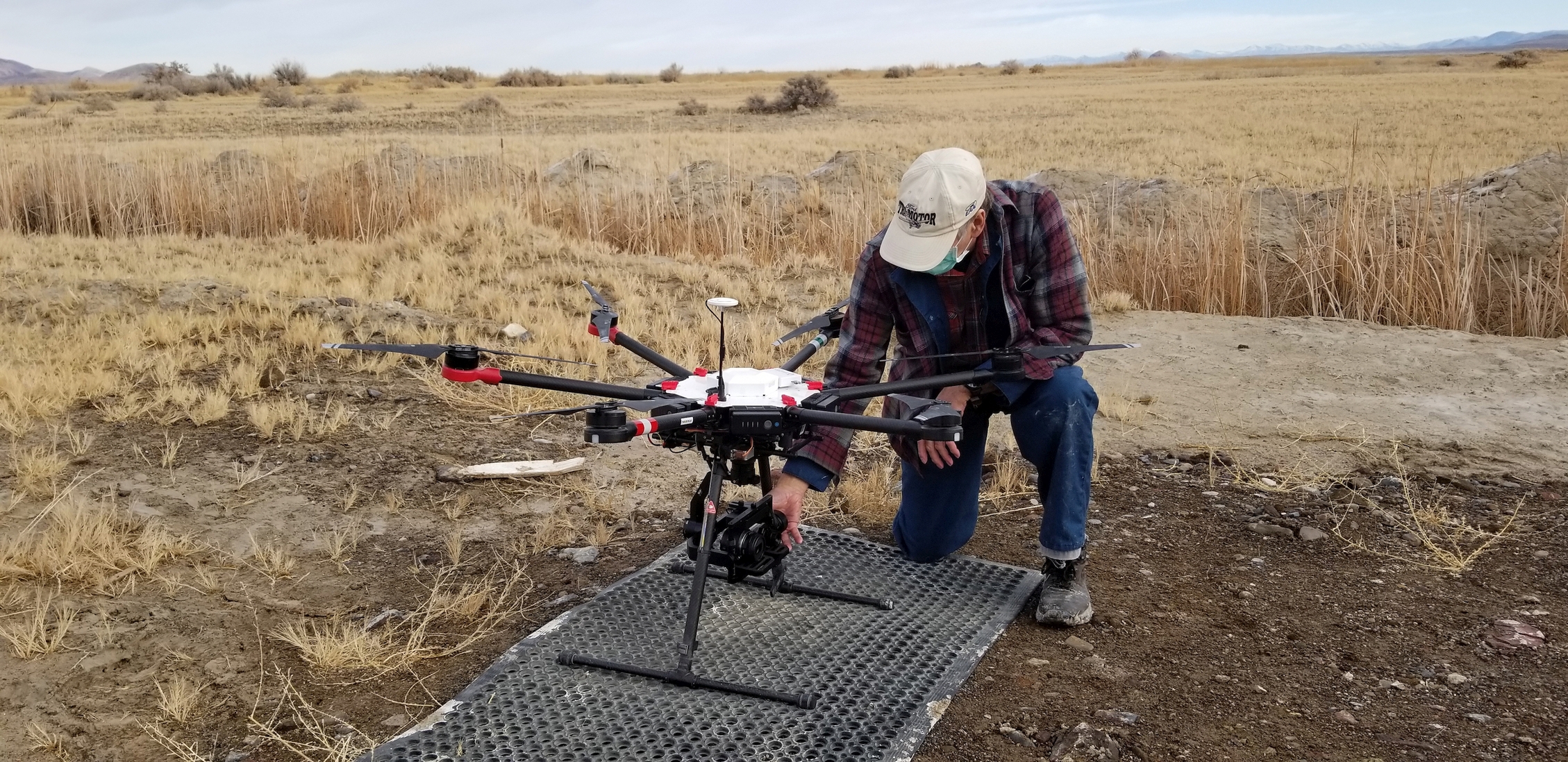
GBCGE affiliates at the Department of Geological Sciences and Engineering also use drone-mounted techniques to acquire thermal infra-red imagery and aeromagnetic data.
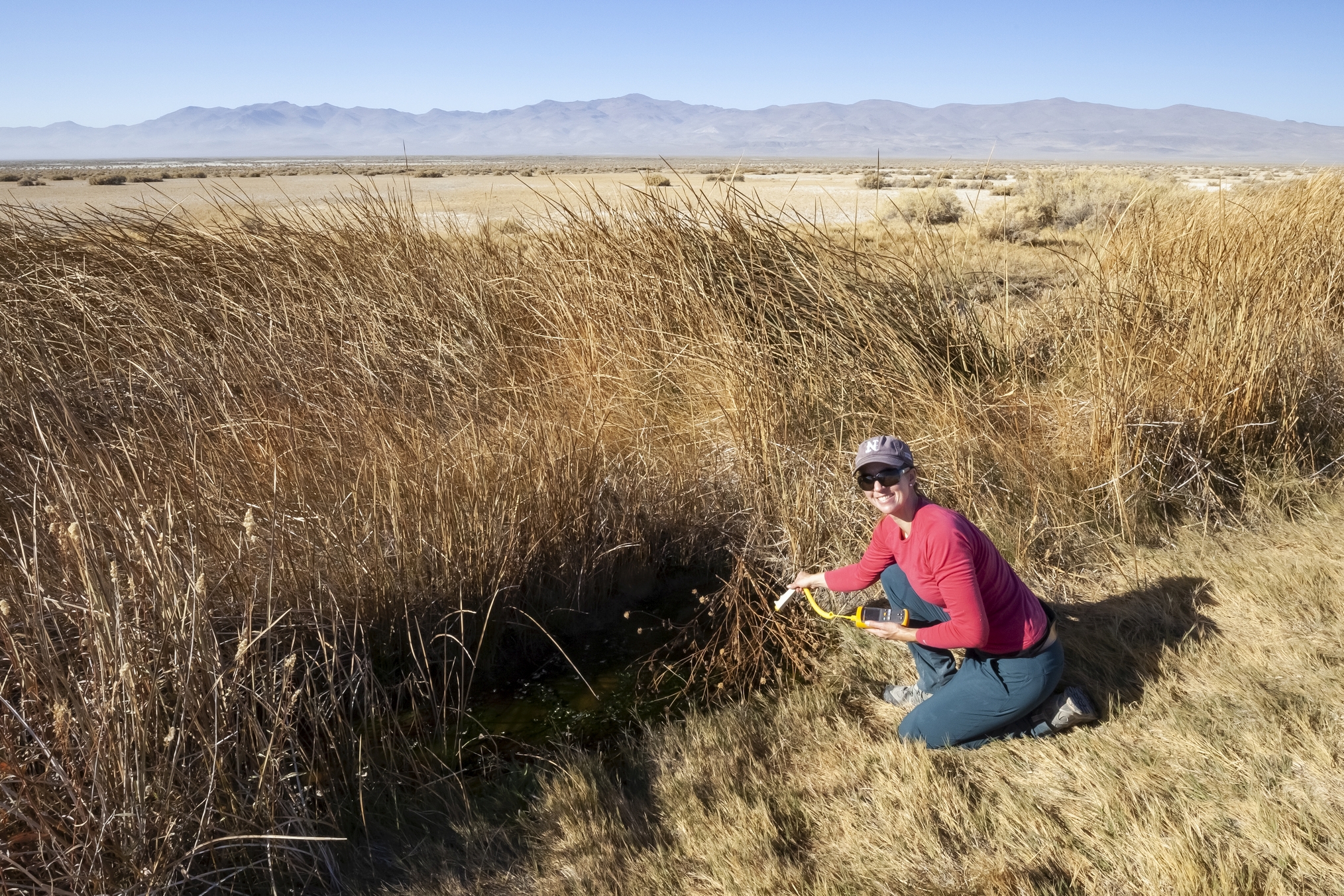
Fluid Geochemistry & Reservoir Characterization
GBCGE researchers measure temperature and collect water and gas samples from geothermal springs and wells in the Great Basin region. Geochemical data are used to evaluate resource conceptual models, and to estimate reservoir temperatures using geothermometry relationships. Such efforts are critical in guiding exploration efforts.
2D/3D Seismic Data Surveys
GBCGE affiliates at the Nevada Seismological Laboratory use seismic data to locate faults and identify structures at geothermal prospects.
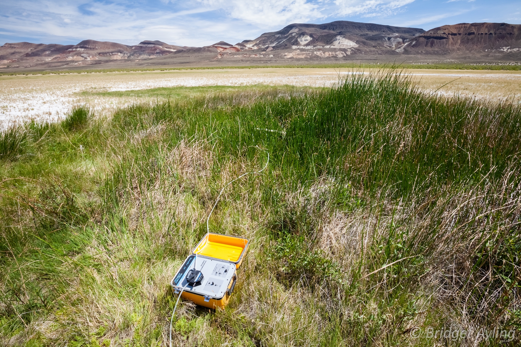
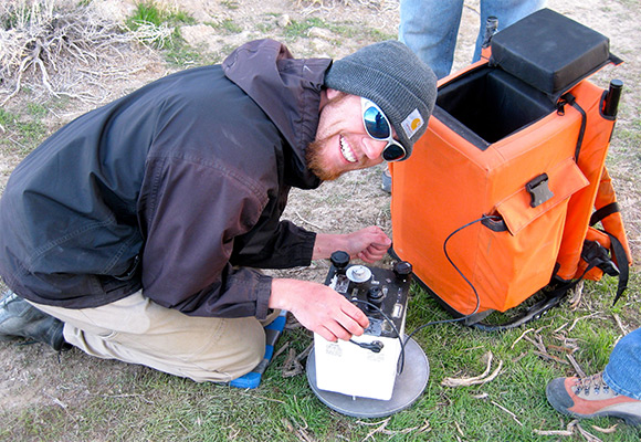
Geophysical Data Collection & Analysis
GBCGE affiliates use historical geophysical data, and collect new data in the field. Gravity and magnetics data are processed and used to create maps and models.
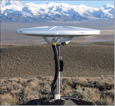
Geodetic Analysis of Crustal Strain
GBCGE affiliates at the Nevada Geodetic Laboratory use highly accurate GPS data from regional networks to study tectonic strain and geothermal activity across the Great Basin.