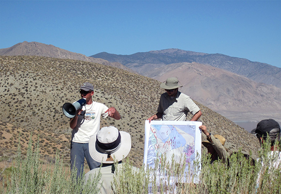
Hawthorne Overview
Geothermal resources in the Walker Basin, specifically in the area of the Hawthorne Army Weapons Depot (HAWD), have been studied by GBCGE investigators since 2010. This project was supported by the Navy Geothermal Program Office (GPO).
Faults were mapped using low sun-angle aerial photography and LiDAR data. Selected mapped faults were verified in the field and age estimates were made. Two exploratory trenches were excavated along the Wassuk Range fault zone to determine ages of faulting. A surficial geology map including faults was produced for the HAWD area. A 2 m temperature survey was also conducted in the HAWD area. The survey identified two new thermal anomalies.
Temperature, chemistry, total dissolved solids, and geothermometry data from existing wells and springs were compiled in GIS and interpolated to identify anomalous regions. A 3D seismic reflection survey was interpreted to show steep faulting. Cuttings from existing geothermal wells were examined to refine lithologic logging and identify alteration potentially related to the modern geothermal system. These data were combined into a 3D geologic model to determine stress fields and thus better select drill sites and plan well paths.

Publications and data resources:
Conference paper: Bell and Hinz, 2010, Geothermal Resources Council annual meeting
Conference paper: Hinz et al., 2010, Geothermal Resources Council annual meeting
Conference paper: Penfield et al., 2010, Geothermal Resources Council annual meeting
Conference paper: Bormann et al., 2010, Geothermal Resources Council annual meeting
Conference paper: Lazaro et al., 2010, Geothermal Resources Council annual meeting
Conference paper: Kratt et al., 2010, Geothermal Resources Council annual meeting
Conference paper: Meade et al., 2010, Geothermal Resources Council annual meeting
Conference paper: Shoffner et al., 2010, Geothermal Resources Council annual meeting
Conference paper: Moeck et al., 2010, Geothermal Resources Council annual meeting
