Quantifying EGS Reservoir Complexity With an Integrated Geophysical Approach – Improved Resolution Ambient Seismic Noise Interferometry in Dixie Valley
Project PI: Dr. John Louie, University of Nevada, Reno
Project duration: 3 years, 9 months: October 2014 – June 2018.
Funding agency: U.S. Department of Energy Geothermal Technologies Office
Total federal funding: $408,195
Project goals and activities:
This project aimed to improve the resolution (from 2 km to 0.1 km, to 3 km depth) of seismic interferometry-estimated parameters such as seismic attenuation, temperature and lithology, relative to prior work on the Dixie Valley geothermal system. Also, the possibility of using seismic analysis in combination with other geophysical techniques for EGS target identification to characterize the subsurface was assessed.
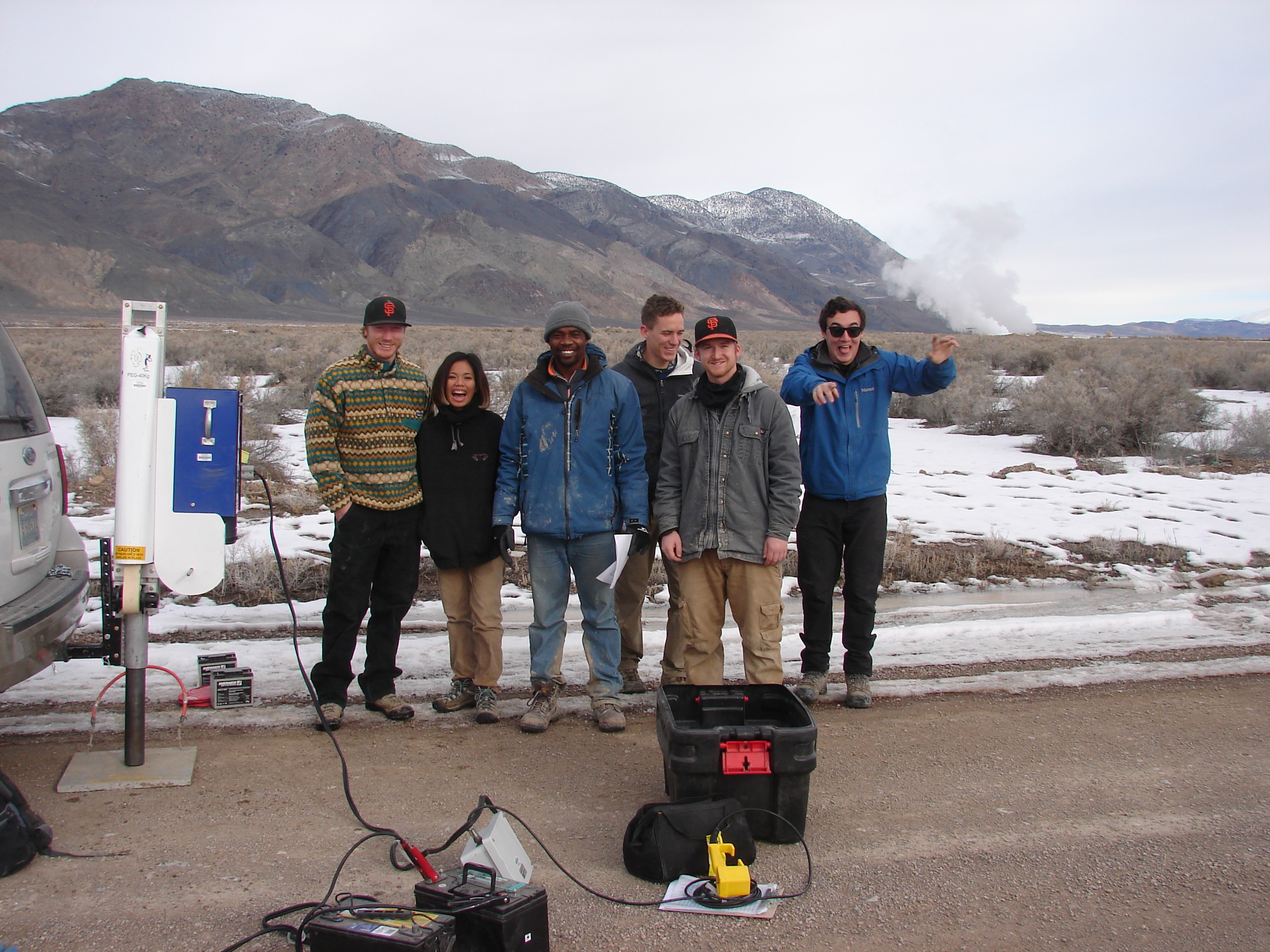
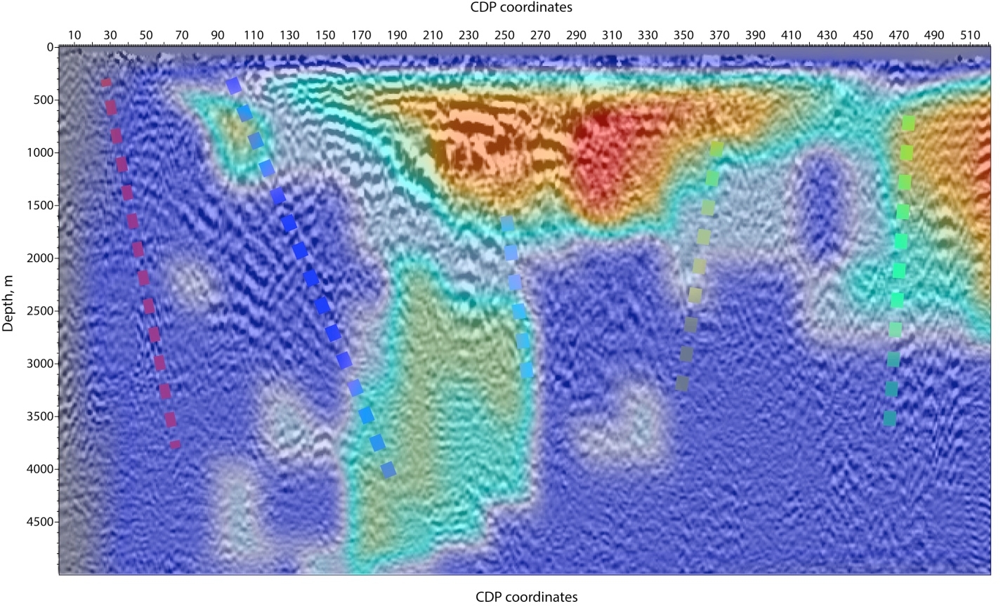
Originally proposed by Dr. Tibuleac, this project employed a small crew of students to lay out a “Large-N” array of 550 seismometers across the Dixie Valley Geothermal Wellfield in Central Nevada during the winter of 2015-2016, to record ambient seismic noise. The large-N passive reflection survey produced possible fault-plane reflections at reservoir depths (Honjas et al., 2019). Using a combined approach of velocity optimization and depth migration, the project objectively evaluated the subsurface velocity structure to image permeable features within the Dixie Valley geothermal field. The traces of newly-interpreted faults were compared against the fault map of Iovenitti et al. (2016), and the match with the features previously interpreted from wells, gravity, and crustal velocity was also consistent .


The seismic instruments for this study were provided by the Incorporated Research Institutions for Seismology (IRIS) through the PASSCAL Instrument Center at New Mexico Tech. Data collected are available through the IRIS Data Management Center. The facilities of the IRIS Consortium are supported by the National Science Foundation under Cooperative Agreement EAR-1261681 and the DOE National Nuclear Security Administration.
Project Publications:
- U.S. Department of Energy GTO peer review (2017). Presentation by Dr. John Louie : Peer_review_presentation_2017
- Honjas, W.S., Young, Z., Louie, J.N., and Honjas, B., (2019), Fault mapping through high-resolution passive-seismic imaging of the Dixie Valley geothermal well field, Nevada (expanded abstract): presented at the Society of Exploration Geophysicists Annual Meeting, San Antonio, Texas, September 17, SEG Technical Program Expanded Abstracts, 5 pp., https://doi.org/10.1190/segam2019-3216040.1
- Final report and data package submitted to the DOE (2019): accessible via the Geothermal Data Repository: https://gdr.openei.org/submissions/1122
